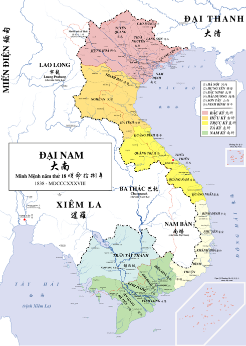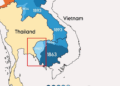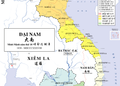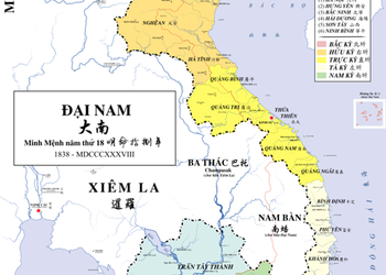
This striking 1838 map of Đại Nam places Trấn Tây Thành in pale green, with Phnom Penh marked as Nam Vang. Red dotted lines show present-day borders, inviting us to compare historical geography with the Cambodia we know today. Maps like this preserve more than boundaries: they reveal the shifting political landscape of mainland Southeast Asia.