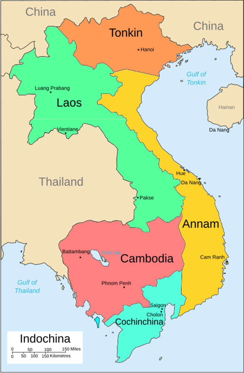
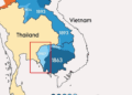
Chinese propaganda map of the First Indochina War, showing Viet Minh-led resistance areas across Vietnam, Laos, and Cambodia in early 1954. The inset focuses on the Red River Delta, emphasizing the strategic heartland around Hanoi and Haiphong on the eve of the French defeat at Dien Bien Phu.
On this map, the plain (solid) red areas represent “liberated” regions, while the lighter, hatched or stippled red areas indicate guerilla bases.


